
Ledegem topographic map
Interactive map
Click on the map to display elevation.
About this map
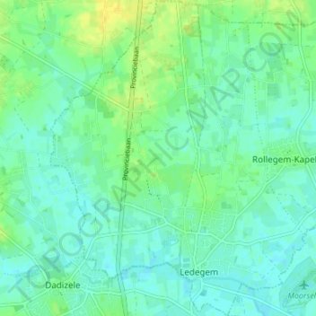
Name: Ledegem topographic map, elevation, terrain.
Location: Ledegem, Roulers, Flandre-Occidentale, Flandre, Belgique (50.84764 3.09452 50.89034 3.14926)
Average elevation: 23 m
Minimum elevation: 16 m
Maximum elevation: 36 m