Geolocate

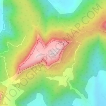
Visapur topographic map

Click on the map to display elevation.

Visapur

It is located in Pune district, 5 to 6 km from Malavli Railway station out of which 3 km is steep road. It has an elevation of 1084 meters above sea level. It is built on the same plateau as Lohagad.

Wikipedia (CC-BY-SA 3.0)

About this map

Name: Visapur topographic map, elevation, terrain.

Location: Visapur, Malavli, Mawal Subdistrict, Pune District, Maharashtra, 410401, India (18.72171 73.49271 18.72181 73.49281)

Average elevation: 822 m

Minimum elevation: 611 m

Maximum elevation: 1,076 m

Gear up for your next adventure:

🗺️Scratch-off Peak Maps - Track your progress climbing Munros or Wainwrights
🔥Emergency Fire Starters - Reliable ignition tools for survival situations in damp conditions
🛑Emergency Bivvy Bags - Heat-reflective survival bags for unexpected nights out
🔦Head Torches - Hands-free lighting for hiking and camping
🔥Reusable Hand Warmers - Maintain dexterity in your fingers for precise map handling

As an Amazon Associate, this site earns from qualifying purchases at no extra cost to you.