
Shakertown topographic map
Interactive map
Click on the map to display elevation.
About this map
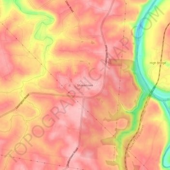
Name: Shakertown topographic map, elevation, terrain.
Location: Shakertown, Mercer County, Kentucky, United States (37.79897 -84.75995 37.83897 -84.71995)
Average elevation: 252 m
Minimum elevation: 145 m
Maximum elevation: 292 m
Other topographic maps
Click on a map to view its topography, its elevation and its terrain.