
Herrenberg topographic map
Interactive map
Click on the map to display elevation.
About this map
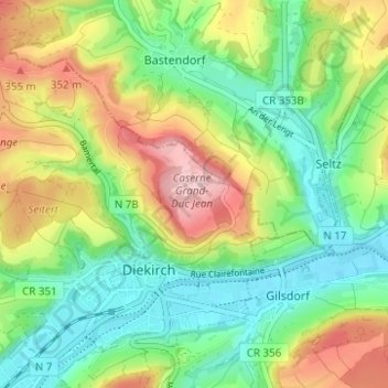
Name: Herrenberg topographic map, elevation, terrain.
Location: Herrenberg, Diekirch, Canton Diekirch, 9220, Luxemburg (49.85690 6.14741 49.89690 6.18741)
Average elevation: 266 m
Minimum elevation: 186 m
Maximum elevation: 397 m