
Marmato topographic map
Interactive map
Click on the map to display elevation.
About this map
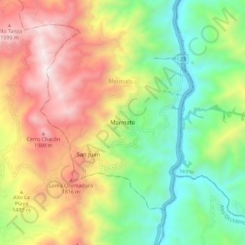
Name: Marmato topographic map, elevation, terrain.
Location: Marmato, Alto Occidente, Caldas, Colombia (5.43464 -75.63884 5.51464 -75.55884)
Average elevation: 1,320 m
Minimum elevation: 650 m
Maximum elevation: 2,213 m