
Weilmünster topographic map
Interactive map
Click on the map to display elevation.
About this map
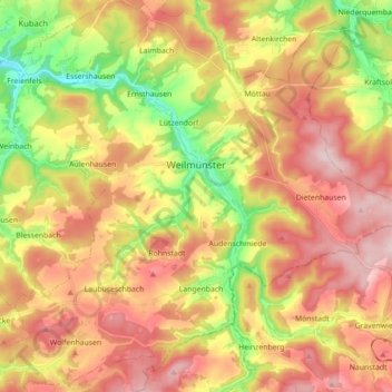
Name: Weilmünster topographic map, elevation, terrain.
Location: Weilmünster, Landkreis Limburg-Weilburg, Hesse, 35789, Germany (50.36858 8.29123 50.47853 8.46735)
Average elevation: 290 m
Minimum elevation: 141 m
Maximum elevation: 419 m
Other topographic maps
Click on a map to view its topography, its elevation and its terrain.