
Bhawanipatna topographic map
Interactive map
Click on the map to display elevation.
About this map
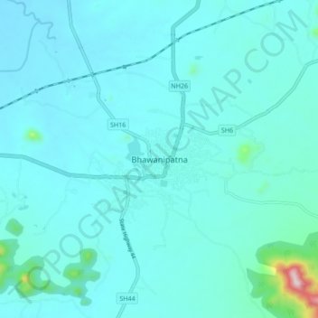
Name: Bhawanipatna topographic map, elevation, terrain.
Location: Bhawanipatna, Sadar, Kalahandi District, Odisha, 766001, India (19.87050 83.12783 19.95050 83.20783)
Average elevation: 266 m
Minimum elevation: 224 m
Maximum elevation: 681 m
Other topographic maps
Click on a map to view its topography, its elevation and its terrain.