Geolocate

Rock Glen topographic map

Interactive map

Click on the map to display elevation.

About this map

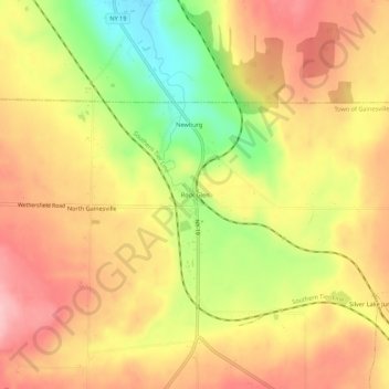
Name: Rock Glen topographic map, elevation, terrain.

Location: Rock Glen, Town of Gainesville, Wyoming County, New York, 14550, United States (42.66590 -78.13890 42.70590 -78.09890)

Average elevation: 426 m

Minimum elevation: 332 m

Maximum elevation: 492 m

Other topographic maps

Click on a map to view its topography, its elevation and its terrain.

Village of Castile

United States > New York > Wyoming County

Village of Castile, Town of Castile, Wyoming County, New York, United States

Average elevation: 420 m

Java Center

United States > New York > Wyoming County

Java Center, Town of Java, Wyoming County, New York, 14082, United States

Average elevation: 471 m

Town of Middlebury

United States > New York > Wyoming County

Town of Middlebury, Wyoming County, New York, United States

Average elevation: 401 m

Town of Covington

United States > New York > Wyoming County

Town of Covington, Wyoming County, New York, United States

Average elevation: 348 m