
Chattar topographic map
Interactive map
Click on the map to display elevation.
About this map
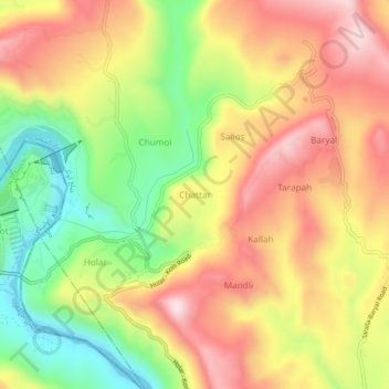
Name: Chattar topographic map, elevation, terrain.
Location: Chattar, Kotli District, Azad Kashmir, Pakistan (33.57954 73.60699 33.61954 73.64699)
Average elevation: 609 m
Minimum elevation: 378 m
Maximum elevation: 821 m