
Yukon topographic map
Interactive map
Click on the map to display elevation.
About this map
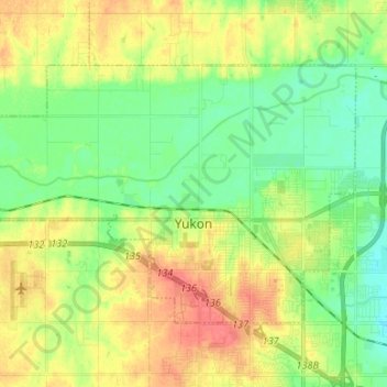
Name: Yukon topographic map, elevation, terrain.
Location: Yukon, Canadian County, Oklahoma, États-Unis d'Amérique (35.47889 -97.83981 35.55116 -97.70663)
Average elevation: 399 m
Minimum elevation: 377 m
Maximum elevation: 427 m