
Emerson Park topographic map
Interactive map
Click on the map to display elevation.
About this map
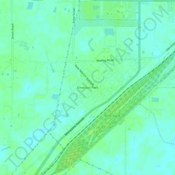
Name: Emerson Park topographic map, elevation, terrain.
Location: Emerson Park, Ware County, Georgia, 31503, United States (31.16883 -82.41763 31.20883 -82.37763)
Average elevation: 44 m
Minimum elevation: 39 m
Maximum elevation: 49 m
Other topographic maps
Click on a map to view its topography, its elevation and its terrain.