Geolocate

Balos topographic map

Click on the map to display elevation.

About this map

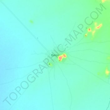
Name: Balos topographic map, elevation, terrain.

Location: Balos, Al Qadarif, Al Qadarif State, Sudan (13.33603 34.91275 13.41603 34.99275)

Average elevation: 493 m

Minimum elevation: 473 m

Maximum elevation: 622 m

Gear up for your next adventure:

🚲Cycling GPS Computers - Track elevation and topographic routes on two wheels
📻Hand-Crank Emergency Radios - Stay updated on weather warnings in remote areas
👕Technical Hiking Tees - Moisture-management for high-exertion climbs
🛰️Satellite Messengers - Emergency communication devices for areas without mobile signal
📚UK Hiking Guidebooks - Detailed route descriptions for the Lake District, Peaks, and Highlands

As an Amazon Associate, this site earns from qualifying purchases at no extra cost to you.