
Nyaruguru topographic map
Interactive map
Click on the map to display elevation.
About this map
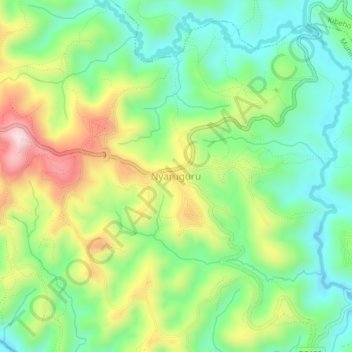
Name: Nyaruguru topographic map, elevation, terrain.
Location: Nyaruguru, Munini, Southern Province, Rwanda (-2.73359 29.51952 -2.69359 29.55952)
Average elevation: 1,892 m
Minimum elevation: 1,751 m
Maximum elevation: 2,130 m