
city of monticello topographic map
Interactive map
Click on the map to display elevation.
About this map
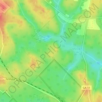
Name: city of monticello topographic map, elevation, terrain.
Location: city of monticello, Jasper County, Georgia, United States (33.25262 -83.70310 33.27337 -83.67470)
Average elevation: 184 m
Minimum elevation: 159 m
Maximum elevation: 210 m