
Sanroque topographic map
Interactive map
Click on the map to display elevation.
About this map
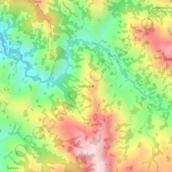
Name: Sanroque topographic map, elevation, terrain.
Location: Sanroque, San Calixto, Occidente, Norte de Santander, Colombia (8.42819 -73.25898 8.46819 -73.21898)
Average elevation: 1,041 m
Minimum elevation: 665 m
Maximum elevation: 1,496 m