
Purello topographic map
Interactive map
Click on the map to display elevation.
About this map
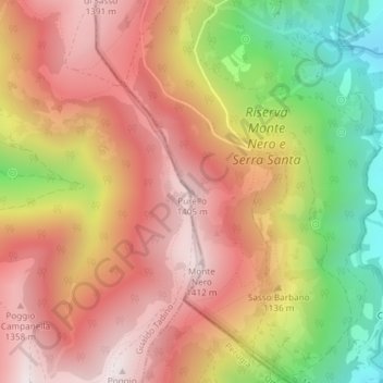
Name: Purello topographic map, elevation, terrain.
Location: Purello, Fabriano, Ancona, Marches, Italie (43.22513 12.83736 43.22523 12.83746)
Average elevation: 1,080 m
Minimum elevation: 586 m
Maximum elevation: 1,427 m
Other topographic maps
Click on a map to view its topography, its elevation and its terrain.