
Harlington Corner topographic map
Interactive map
Click on the map to display elevation.
About this map
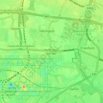
Name: Harlington Corner topographic map, elevation, terrain.
Average elevation: 26 m
Minimum elevation: 1 m
Maximum elevation: 64 m
Other topographic maps
Click on a map to view its topography, its elevation and its terrain.
Harefield
United Kingdom > England > London Borough of Hillingdon
Harefield, London Borough of Hillingdon, Greater London, England, UB9 6BD, United Kingdom
Average elevation: 66 m