
Itoki topographic map
Interactive map
Click on the map to display elevation.
About this map
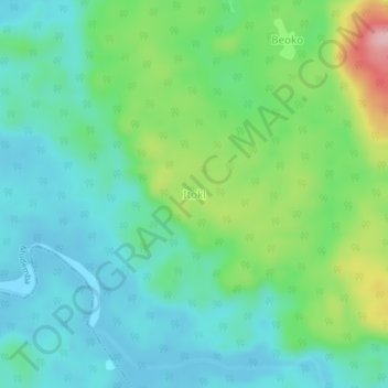
Name: Itoki topographic map, elevation, terrain.
Location: Itoki, Mudemba, Ndian, Southwest, Cameroon (4.81180 8.92171 4.85180 8.96171)
Average elevation: 51 m
Minimum elevation: 1 m
Maximum elevation: 187 m