
Pachara topographic map
Interactive map
Click on the map to display elevation.
About this map
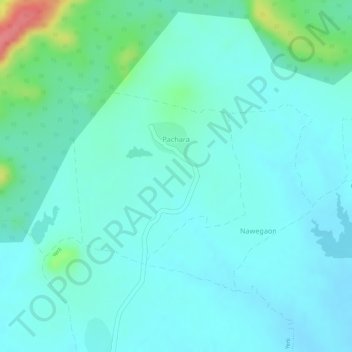
Name: Pachara topographic map, elevation, terrain.
Location: Pachara, Tumsar Taluka, Bhandara, Maharastra, India (21.43436 79.75704 21.44787 79.77138)
Average elevation: 286 m
Minimum elevation: 268 m
Maximum elevation: 353 m