Geolocate

Scot topographic map

Click on the map to display elevation.

About this map

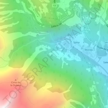
Name: Scot topographic map, elevation, terrain.

Location: Scot, Spina, Mesocco, Moësa, Grisons, 6565, Switzerland (46.41611 9.19316 46.43611 9.21316)

Average elevation: 1,572 m

Minimum elevation: 1,168 m

Maximum elevation: 2,410 m

Gear up for your next adventure:

🧥Softshell Jackets - Breathable jackets for active outdoor use
👖Packable Overtrousers - Quick-deploy rain protection for legs in sudden storms
👕Technical Hiking Tees - Moisture-management for high-exertion climbs
📕Outdoor Navigation Books - Learn traditional and modern navigation techniques
📻Hand-Crank Emergency Radios - Stay updated on weather warnings in remote areas

As an Amazon Associate, this site earns from qualifying purchases at no extra cost to you.