
Dhar topographic map
Interactive map
Click on the map to display elevation.
About this map
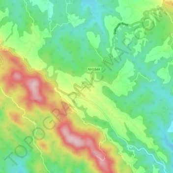
Name: Dhar topographic map, elevation, terrain.
Location: Dhar, Dhar Kalan Tahsil, Pathankot district, Punjab, India (32.38290 75.79670 32.42290 75.83670)
Average elevation: 593 m
Minimum elevation: 494 m
Maximum elevation: 750 m