
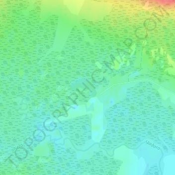
Álftavatn topographic map
Interactive map
Click on the map to display elevation.
About this map
Name: Álftavatn topographic map, elevation, terrain.
Location: Álftavatn, Snæfellsbær, Vesturland, 356, Islande (64.83566 -23.02116 64.83849 -23.01146)
Average elevation: 20 m
Minimum elevation: 6 m
Maximum elevation: 62 m