
Kamo topographic map
Interactive map
Click on the map to display elevation.
About this map
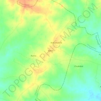
Name: Kamo topographic map, elevation, terrain.
Location: Kamo, Chauparan, Hazaribagh District, Jharkhand, India (24.40051 85.39543 24.44051 85.43543)
Average elevation: 396 m
Minimum elevation: 376 m
Maximum elevation: 416 m