
Latrabjarg topographic map
Interactive map
Click on the map to display elevation.
About this map
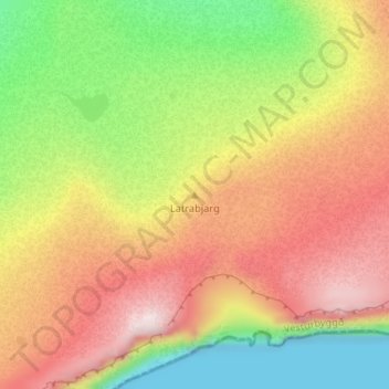
Name: Latrabjarg topographic map, elevation, terrain.
Location: Latrabjarg, Vesturbyggð, Iceland (65.50626 -24.41608 65.50636 -24.41598)
Average elevation: 220 m
Minimum elevation: 0 m
Maximum elevation: 440 m