
Königsee topographic map
Interactive map
Click on the map to display elevation.
About this map
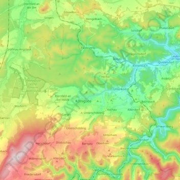
Name: Königsee topographic map, elevation, terrain.
Average elevation: 461 m
Minimum elevation: 255 m
Maximum elevation: 802 m
Other topographic maps
Click on a map to view its topography, its elevation and its terrain.
Königsee
Germany > Thuringia > Landkreis Saalfeld-Rudolstadt > Königsee
Königsee, Landkreis Saalfeld-Rudolstadt, Thuringia, Germany
Average elevation: 434 m