
Glenview topographic map
Interactive map
Click on the map to display elevation.
About this map
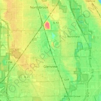
Name: Glenview topographic map, elevation, terrain.
Location: Glenview, Cook County, Illinois, USA (42.05509 -87.89340 42.11643 -87.75858)
Average elevation: 198 m
Minimum elevation: 176 m
Maximum elevation: 226 m