
Bouzamaior topographic map
Interactive map
Click on the map to display elevation.
About this map
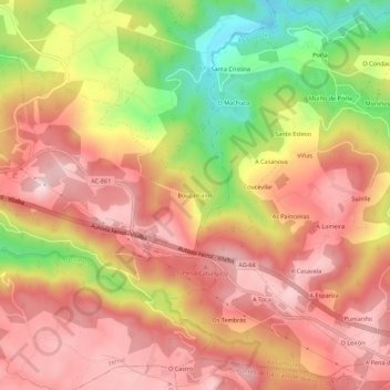
Name: Bouzamaior topographic map, elevation, terrain.
Average elevation: 360 m
Minimum elevation: 141 m
Maximum elevation: 494 m
Other topographic maps
Click on a map to view its topography, its elevation and its terrain.
Igrexafeita
España > Galicia > Ferrol > San Sadurniño
Igrexafeita, San Sadurniño, Ferrol, La Coruña, Galicia, España
Average elevation: 349 m