
St. John's in the Vale topographic map
Interactive map
Click on the map to display elevation.
About this map
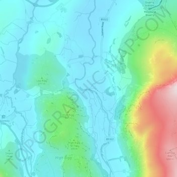
Name: St. John's in the Vale topographic map, elevation, terrain.
Average elevation: 256 m
Minimum elevation: 134 m
Maximum elevation: 706 m
Other topographic maps
Click on a map to view its topography, its elevation and its terrain.