
Keto topographic map
Interactive map
Click on the map to display elevation.
About this map
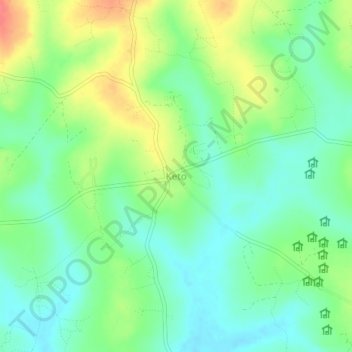
Name: Keto topographic map, elevation, terrain.
Location: Keto, Omoro, Northern Region, Uganda (2.61237 32.39959 2.65237 32.43959)
Average elevation: 1,083 m
Minimum elevation: 1,061 m
Maximum elevation: 1,119 m