
Afarara topographic map
Interactive map
Click on the map to display elevation.
About this map
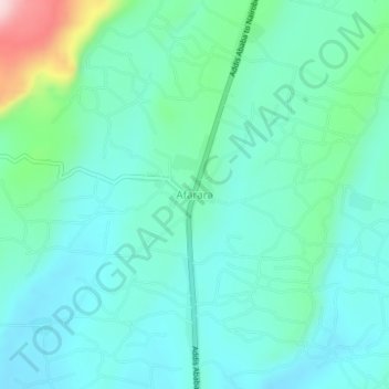
Name: Afarara topographic map, elevation, terrain.
Location: Afarara, Sidama, Ethiopia (6.81174 38.36170 6.85174 38.40170)
Average elevation: 1,791 m
Minimum elevation: 1,730 m
Maximum elevation: 2,039 m