
DESA CATTLE topographic map
Interactive map
Click on the map to display elevation.
About this map
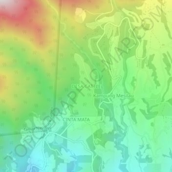
Name: DESA CATTLE topographic map, elevation, terrain.
Location: DESA CATTLE, Sabah, Malaysia (5.99638 116.57139 6.03638 116.61139)
Average elevation: 1,589 m
Minimum elevation: 1,163 m
Maximum elevation: 2,356 m