
El Bothé topographic map
Interactive map
Click on the map to display elevation.
About this map
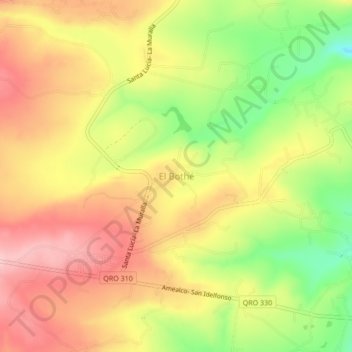
Name: El Bothé topographic map, elevation, terrain.
Location: El Bothé, Amealco de Bonfil, Querétaro, México (20.14333 -100.02278 20.18333 -99.98278)
Average elevation: 2,387 m
Minimum elevation: 2,281 m
Maximum elevation: 2,470 m