
Buchkopfturm topographic map
Interactive map
Click on the map to display elevation.
About this map
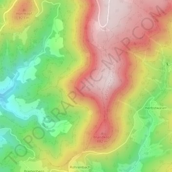
Name: Buchkopfturm topographic map, elevation, terrain.
Average elevation: 707 m
Minimum elevation: 437 m
Maximum elevation: 955 m
Other topographic maps
Click on a map to view its topography, its elevation and its terrain.
Allerheiligen
Deutschland > Baden-Württemberg > Oppenau
Allerheiligen, Oppenau, Verwaltungsverband Oberes Renchtal, Ortenaukreis, Regierungsbezirk Freiburg, Baden-Württemberg, 77889, Deutschland
Average elevation: 716 m