
Rubaare (nyarweshama) topographic map
Interactive map
Click on the map to display elevation.
About this map
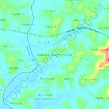
Name: Rubaare (nyarweshama) topographic map, elevation, terrain.
Location: Rubaare (nyarweshama), Sheema, Western Region, Uganda (-0.58734 30.29527 -0.54734 30.33527)
Average elevation: 1,525 m
Minimum elevation: 1,497 m
Maximum elevation: 1,637 m