
Port Hilford topographic map
Interactive map
Click on the map to display elevation.
About this map
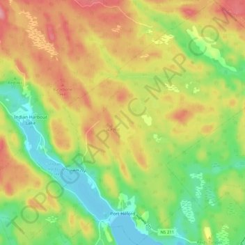
Name: Port Hilford topographic map, elevation, terrain.
Average elevation: 54 m
Minimum elevation: 0 m
Maximum elevation: 113 m
Other topographic maps
Click on a map to view its topography, its elevation and its terrain.
West Side Country Harbour
Canada > Nouvelle-Écosse > Guysborough County > West Side Country Harbour
West Side Country Harbour, Guysborough District Municipality, Guysborough County, Nouvelle-Écosse, B0H 1J0, Canada
Average elevation: 112 m