
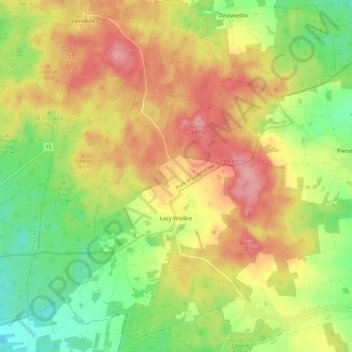
Łazy Wielkie topographic map
Interactive map
Click on the map to display elevation.
About this map
Name: Łazy Wielkie topographic map, elevation, terrain.
Average elevation: 178 m
Minimum elevation: 121 m
Maximum elevation: 235 m
Other topographic maps
Click on a map to view its topography, its elevation and its terrain.
Milicz
Poland > Lower Silesian Voivodeship > Milicz County
Milicz, gmina Milicz, Milicz County, Lower Silesian Voivodeship, 56-300, Poland
Average elevation: 115 m