
Austhorpe topographic map
Click on the map to display elevation.
About this map
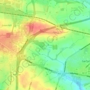
Name: Austhorpe topographic map, elevation, terrain.
Location: Austhorpe, Leeds, West Yorkshire, England, United Kingdom (53.79073 -1.43062 53.79982 -1.39434)
Average elevation: 74 m
Minimum elevation: 46 m
Maximum elevation: 102 m
England trails, hiking, mountain biking, running and outdoor activities