
Scharmer topographic map
Interactive map
Click on the map to display elevation.
About this map
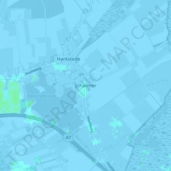
Name: Scharmer topographic map, elevation, terrain.
Location: Scharmer, Groningen, Niederlande, 9616, Niederlande (53.18748 6.68693 53.22748 6.72693)
Average elevation: -1 m
Minimum elevation: -10 m
Maximum elevation: 5 m