
Xã Long Đức topographic map
Interactive map
Click on the map to display elevation.
About this map
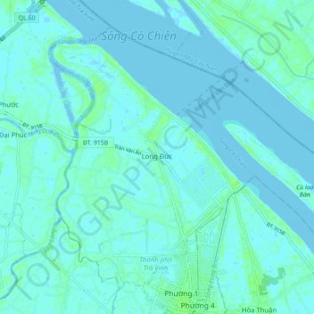
Name: Xã Long Đức topographic map, elevation, terrain.
Location: Xã Long Đức, Trà Vinh City, Trà Vinh Province, Vietnam (9.94478 106.30325 10.01636 106.39015)
Average elevation: 2 m
Minimum elevation: -3 m
Maximum elevation: 9 m