
Owensburg topographic map
Interactive map
Click on the map to display elevation.
About this map
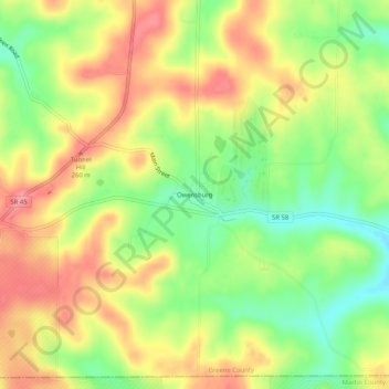
Name: Owensburg topographic map, elevation, terrain.
Location: Owensburg, Greene County, Indiana, 47453, United States (38.90323 -86.74993 38.94323 -86.70993)
Average elevation: 223 m
Minimum elevation: 173 m
Maximum elevation: 269 m