
Khudani topographic map
Interactive map
Click on the map to display elevation.
About this map
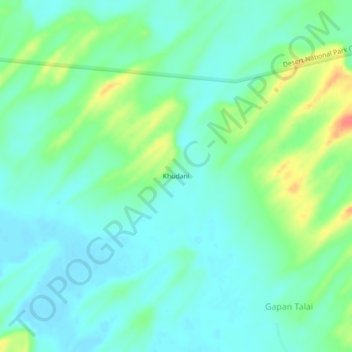
Name: Khudani topographic map, elevation, terrain.
Location: Khudani, Gadraroad Tehsil, Barmer, Rajasthan, India (25.86462 70.66718 25.90462 70.70718)
Average elevation: 167 m
Minimum elevation: 151 m
Maximum elevation: 210 m