
Lewes topographic map
Click on the map to display elevation.
About this map
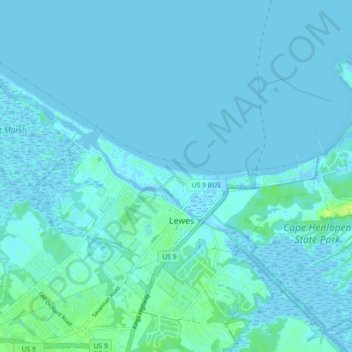
Name: Lewes topographic map, elevation, terrain.
Location: Lewes, Sussex County, Delaware, United States (38.75734 -75.19291 38.80719 -75.10323)
Average elevation: 2 m
Minimum elevation: -4 m
Maximum elevation: 14 m
Other topographic maps
Click on a map to view its topography, its elevation and its terrain.