
Routhierville topographic map
Interactive map
Click on the map to display elevation.
About this map
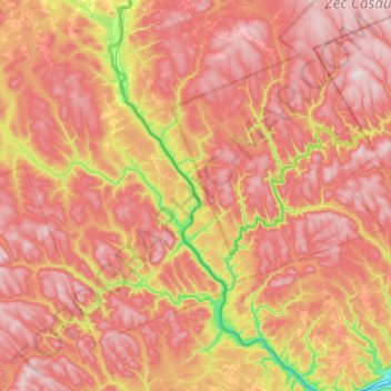
Name: Routhierville topographic map, elevation, terrain.
Average elevation: 319 m
Minimum elevation: 0 m
Maximum elevation: 546 m
Other topographic maps
Click on a map to view its topography, its elevation and its terrain.
Glen Emma
Canada > Québec > La Matapédia > Routhierville
Glen Emma, Routhierville, La Matapédia, Bas-Saint-Laurent, Québec, Canada
Average elevation: 190 m