Geolocate

Thor topographic map

Click on the map to display elevation.

About this map

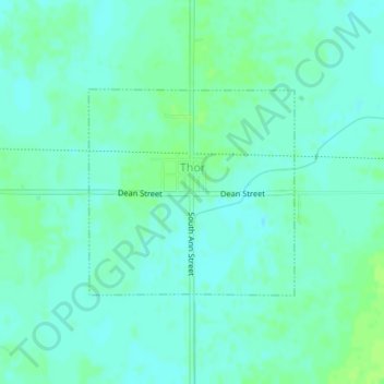
Name: Thor topographic map, elevation, terrain.

Location: Thor, Humboldt County, Iowa, United States (42.68089 -94.05947 42.69541 -94.03977)

Average elevation: 347 m

Minimum elevation: 342 m

Maximum elevation: 352 m

Other topographic maps

Click on a map to view its topography, its elevation and its terrain.

Unique

United States > Iowa > Humboldt County

Average elevation: 352 m

Gear up for your next adventure:

🧤Waterproof Overmitts - Extreme weather protection for hikers and mountaineers
🥼Base Layers - Thermal base layers for temperature regulation
👕Merino Base Layers - Natural temperature regulation for cold weather hiking and camping
🎒Hiking Daypacks (20L) - Compact backpacks for day trips and technical mountain ascents
🧢Thermal Beanie Hats - Prevent heat loss from the head in windy summit conditions

As an Amazon Associate, this site earns from qualifying purchases at no extra cost to you.