
Crick topographic map
Click on the map to display elevation.
About this map
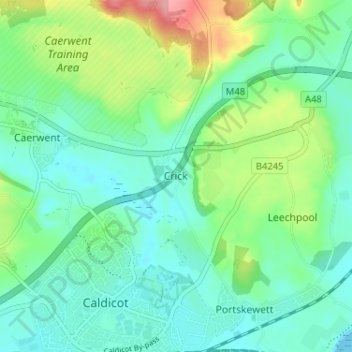
Name: Crick topographic map, elevation, terrain.
Location: Crick, Monmouthshire, Wales, NP26 5BR, United Kingdom (51.58569 -2.75891 51.62569 -2.71891)
Average elevation: 29 m
Minimum elevation: 0 m
Maximum elevation: 107 m
Monmouthshire trails, hiking, mountain biking, running and outdoor activities
Other topographic maps
Click on a map to view its topography, its elevation and its terrain.