
Oshakati topographic map
Interactive map
Click on the map to display elevation.
About this map
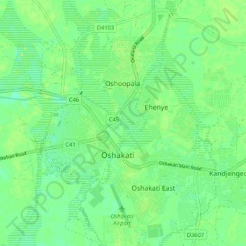
Name: Oshakati topographic map, elevation, terrain.
Location: Oshakati, Oshana, Namibia (-17.80866 15.67479 -17.73850 15.73999)
Average elevation: 1,097 m
Minimum elevation: 1,089 m
Maximum elevation: 1,103 m