
Central Island National Park topographic map
Interactive map
Click on the map to display elevation.
About this map
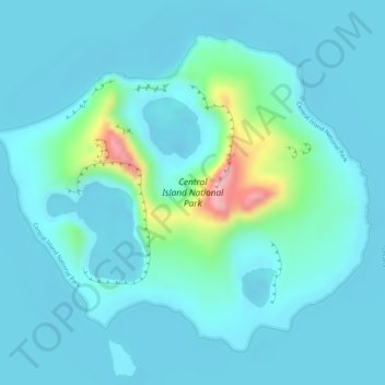
Name: Central Island National Park topographic map, elevation, terrain.
Location: Central Island National Park, Turkana, Kenya (3.48457 36.02259 3.50743 36.05030)
Average elevation: 382 m
Minimum elevation: 355 m
Maximum elevation: 530 m
Other topographic maps
Click on a map to view its topography, its elevation and its terrain.