
Le Rhône topographic map
Interactive map
Click on the map to display elevation.
About this map
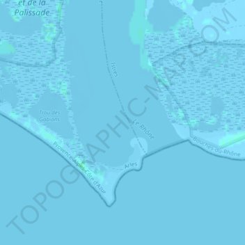
Name: Le Rhône topographic map, elevation, terrain.
Average elevation: 0 m
Minimum elevation: -5 m
Maximum elevation: 3 m
Other topographic maps
Click on a map to view its topography, its elevation and its terrain.
Tour Saint-Louis
France > Provence-Alpes-Côte d'Azur > Bouches-du-Rhône > Port-Saint-Louis-du-Rhône > Faubourg Hardon
Tour Saint-Louis, Quai Bonnardel, Faubourg Hardon, Port-Saint-Louis-du-Rhône, Istres, Bouches-du-Rhône, Provence-Alpes-Côte d'Azur, France métropolitaine, 13230, France
Average elevation: 0 m