
Sint Laurens topographic map
Interactive map
Click on the map to display elevation.
About this map
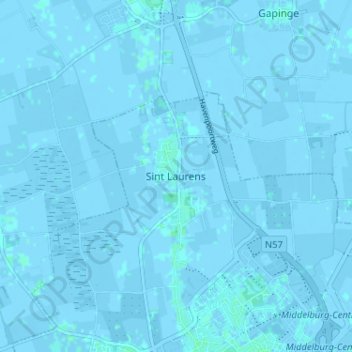
Name: Sint Laurens topographic map, elevation, terrain.
Location: Sint Laurens, Seeland, Niederlande, 4333KW, Niederlande (51.50577 3.58528 51.54577 3.62528)
Average elevation: -1 m
Minimum elevation: -4 m
Maximum elevation: 3 m