

St. Cloud topographic map
Click on the map to display elevation.
About this map
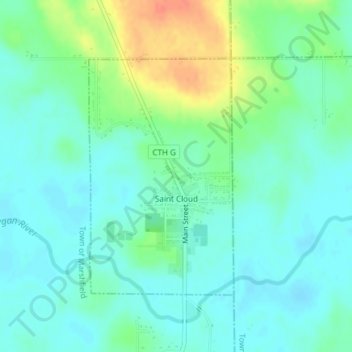
Name: St. Cloud topographic map, elevation, terrain.
Location: St. Cloud, Fond du Lac County, Wisconsin, United States (43.81537 -88.17637 43.83352 -88.16094)
Average elevation: 288 m
Minimum elevation: 274 m
Maximum elevation: 321 m
Other topographic maps
Click on a map to view its topography, its elevation and its terrain.


Graham Corners
United States > Wisconsin > Fond du Lac County > Town of Forest
Average elevation: 323 m